Rooble
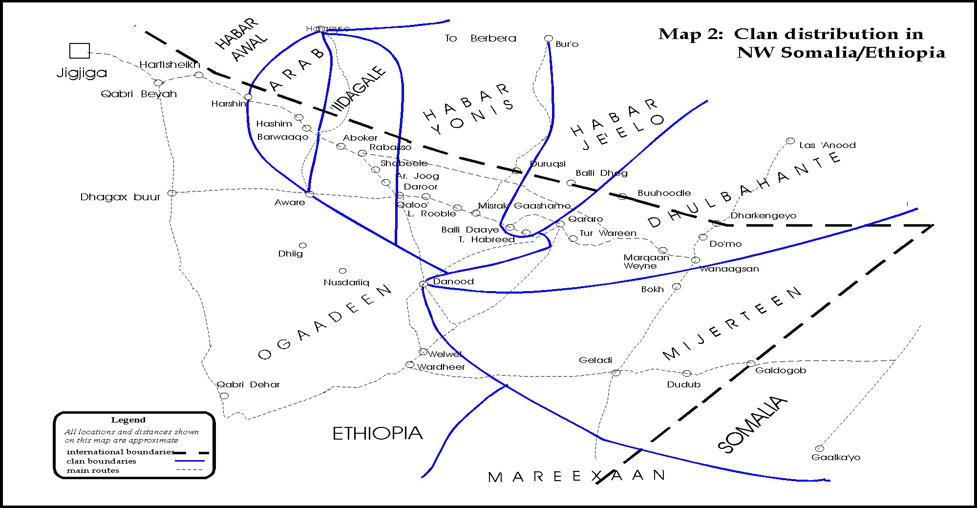
No. Leelkase settle in Goldogob, Gaalkacyo and live in Bari too. why are they missing when they have significant presence? well if it was MJ who made this map in 1950s it makes sense because Leelkase and Majerteen pretty much wanted to eradicate one another at that time.

as for Kista
my father lived in Kismaayo in the 60s and there was only one small Xaafad there, the city we now know was nothing but a Tuulo with a somewhat modern port and few houses formaly owned by foreigners. between 50s and 60s there was influx of both MJs from Bari and Marexans from Mudug, MJs came in floks in boats from Bari whiles Marexan from the north came in moderately. both groups were city dwellers and farm owners, and in the case of the farms, We stole from foreigners who stole from the Nation during colonisation.
the real settlers of the Lower Jubba region however are missing from the map(Gaaljecel, Shiikhaal and smaller groups including Bajuuni, Carlame etc) and some are pushed down like the Marexan(Telxa, Hawrarsame etc).
i would not say its a blasphemous misconception because Shabeelaha and Jubbada Hoose were not known to most Somalis who are mostly from the north. But ask Talxe, Shiikhaal or Gaaljecel and they will tell you how people in those areas use to settle.


